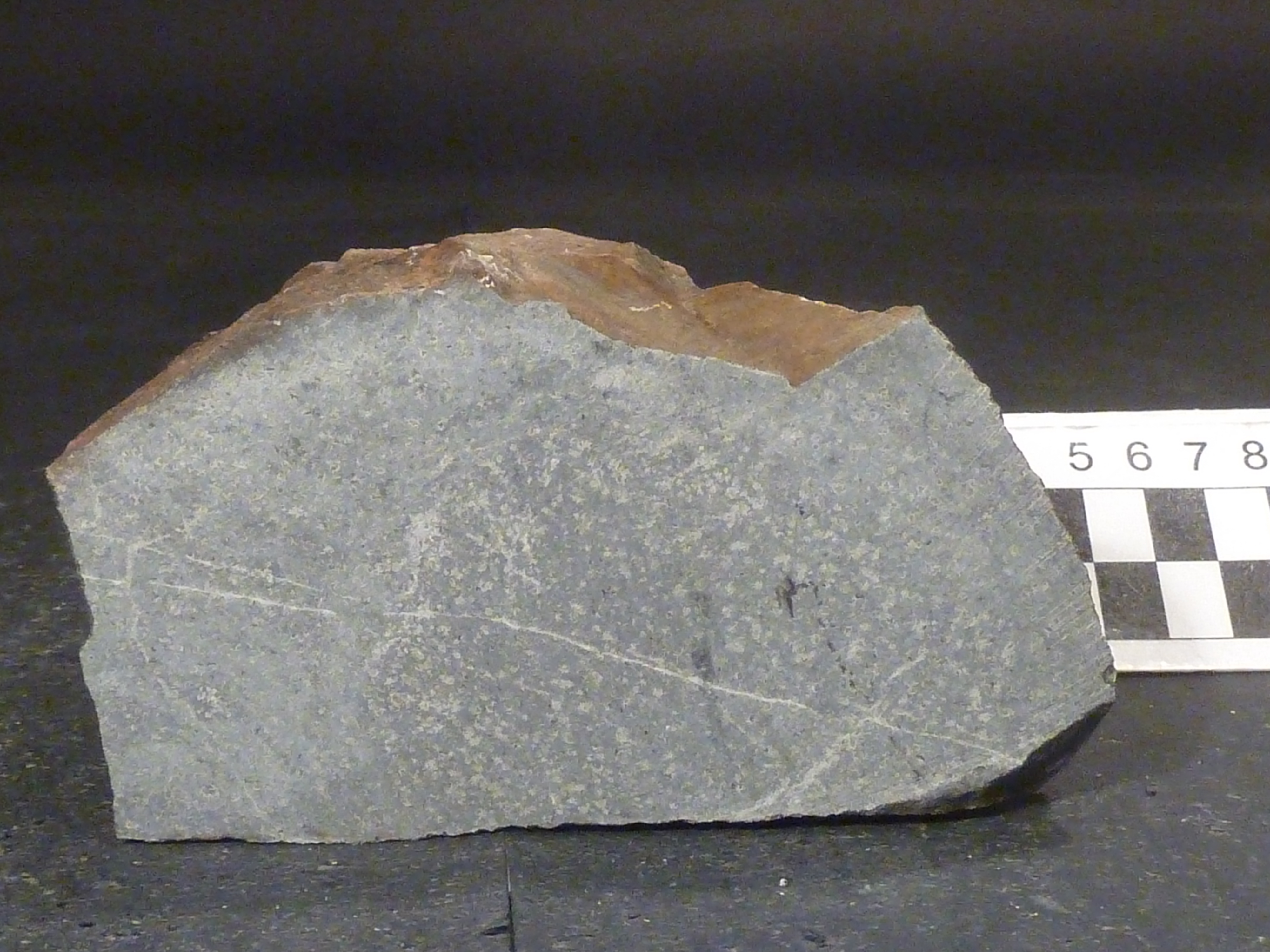
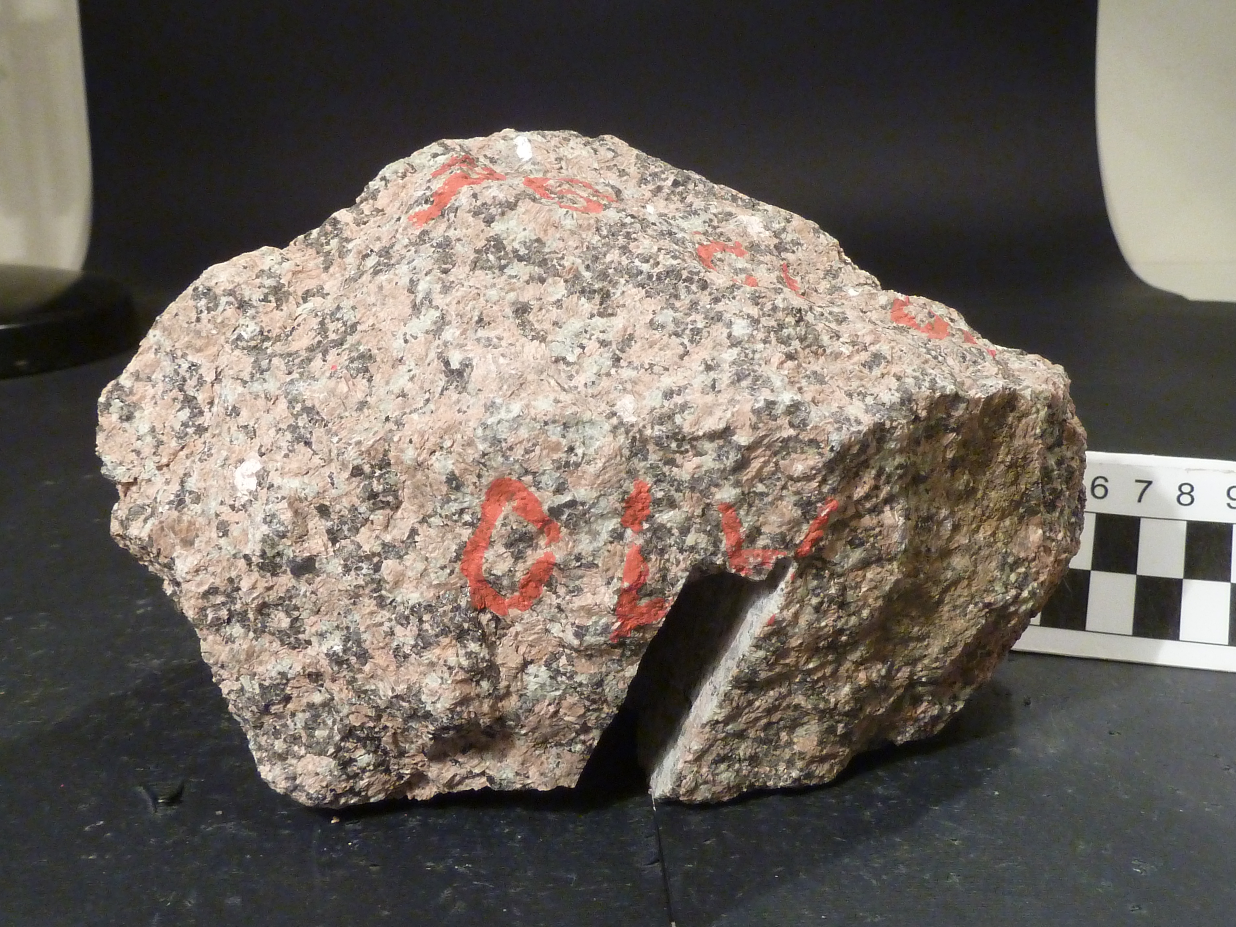
Mount Chetwynd
Type of resources
Topics
Keywords
Contact for the resource
Provided by
Years
Formats
Representation types
Update frequencies
status
Scale
-
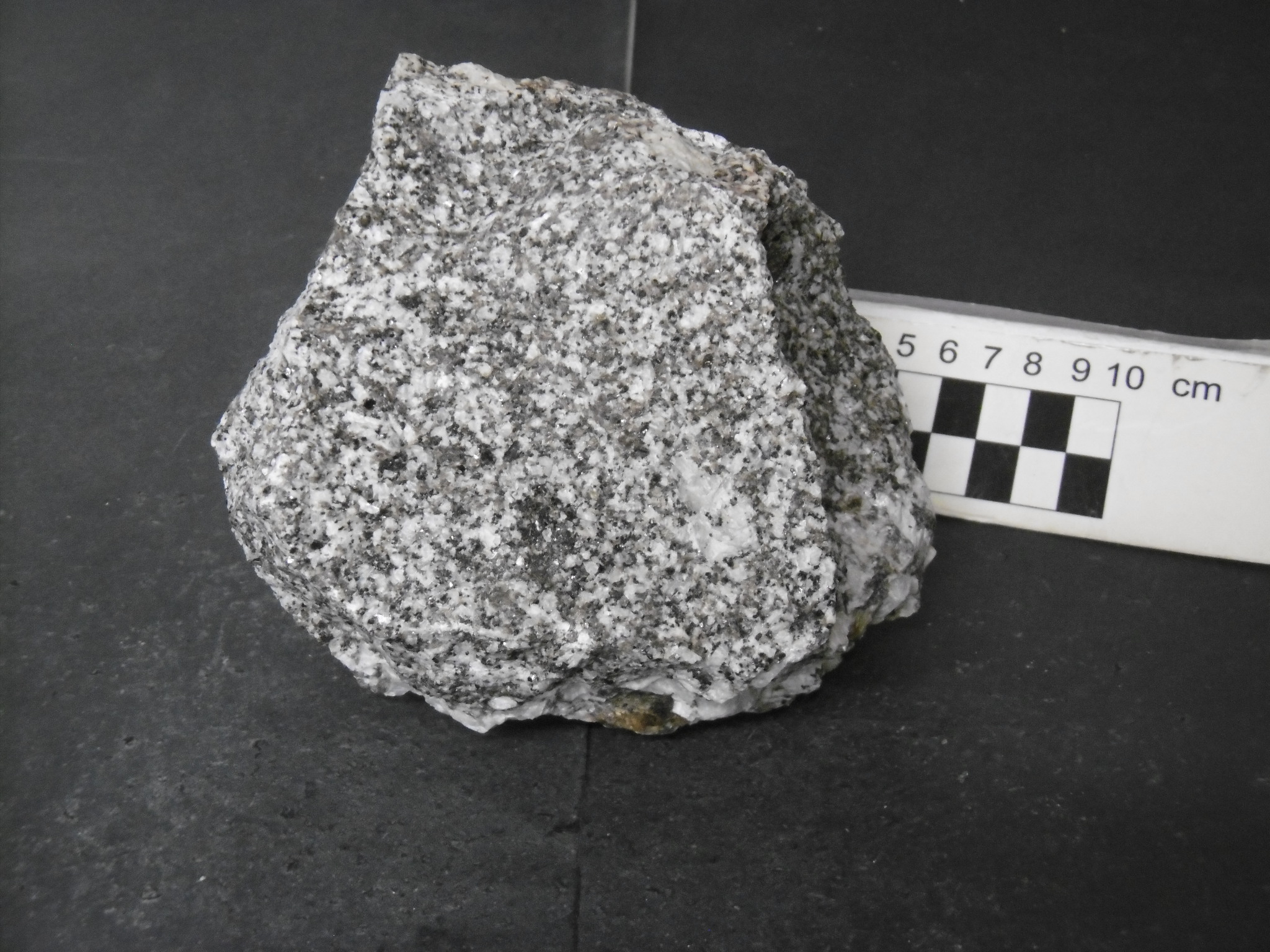
During the XXXIII and XXXIV Italian Antarctic expeditions (2017/18, 2018/19), 258 rocks have been sampled within the aim of the project "Completion of the geological cartography in Victoria Land and integration of the cartographic material into a digital dataset" in northern and southern Victoria Land. They include intrusive, subvolcanic, volcanic, metamorphic and sedimentary rocks. The investigated regions are within Convoy Range ST 57-60/1, Franklin Island ST 57-60/2* and Mount Joyce SS 55-57/16 USGS sheets.
-
During the XII Italian Antarctic expedition (1996/97), 294 rocks have been sampled within the aim of the project "Meso-Cenozoic geodynamics and paleoenvironment of Victoria Land-Ross Sea" in northern and southern Victoria Land. They include intrusive, subvolcanic, volcanic, metamorphic and sedimentary rocks and fossil woods. The investigated regions are within Cape Hallett SS 58-60/2, Convoy Range ST 57-60/1, Coulman Island SS 58-60/6, Franklin Island ST 57-60/2*, Freyberg Mountains SS 58-60/1, Mount Joyce SS 55-57/16, Mount Melbourne SS 58-60/9, Mount Murchison SS 58-60/5 and Relief Inlet SS 58-60/13 USGS sheets.
-
During the XII Italian Antarctic expedition (1996/97), 553 rocks have been sampled within the aim of the project "Evolution of East Antarctic craton and paleo-Pacific margin of Gondwana" in northern and southern Victoria Land. They include intrusive, subvolcanic, volcanic and metamorphic rocks. The investigated regions are within Cape Hallett SS 58-60/2, Convoy Range ST 57-60/1, Coulman Island SS 58-60/6, Franklin Island ST 57-60/2*, Freyberg Mountains SS 58-60/1, Mount Joyce SS 55-57/16, Mount Melbourne SS 58-60/9, Mount Murchison SS 58-60/5, Mount Soza SR 57-58/15, Ob' Bay SR 57-58/11, Relief Inlet SS 58-60/13, Sequence Hills SS 55-57/8 and Yule Bay SR 57-58/12 USGS sheets.